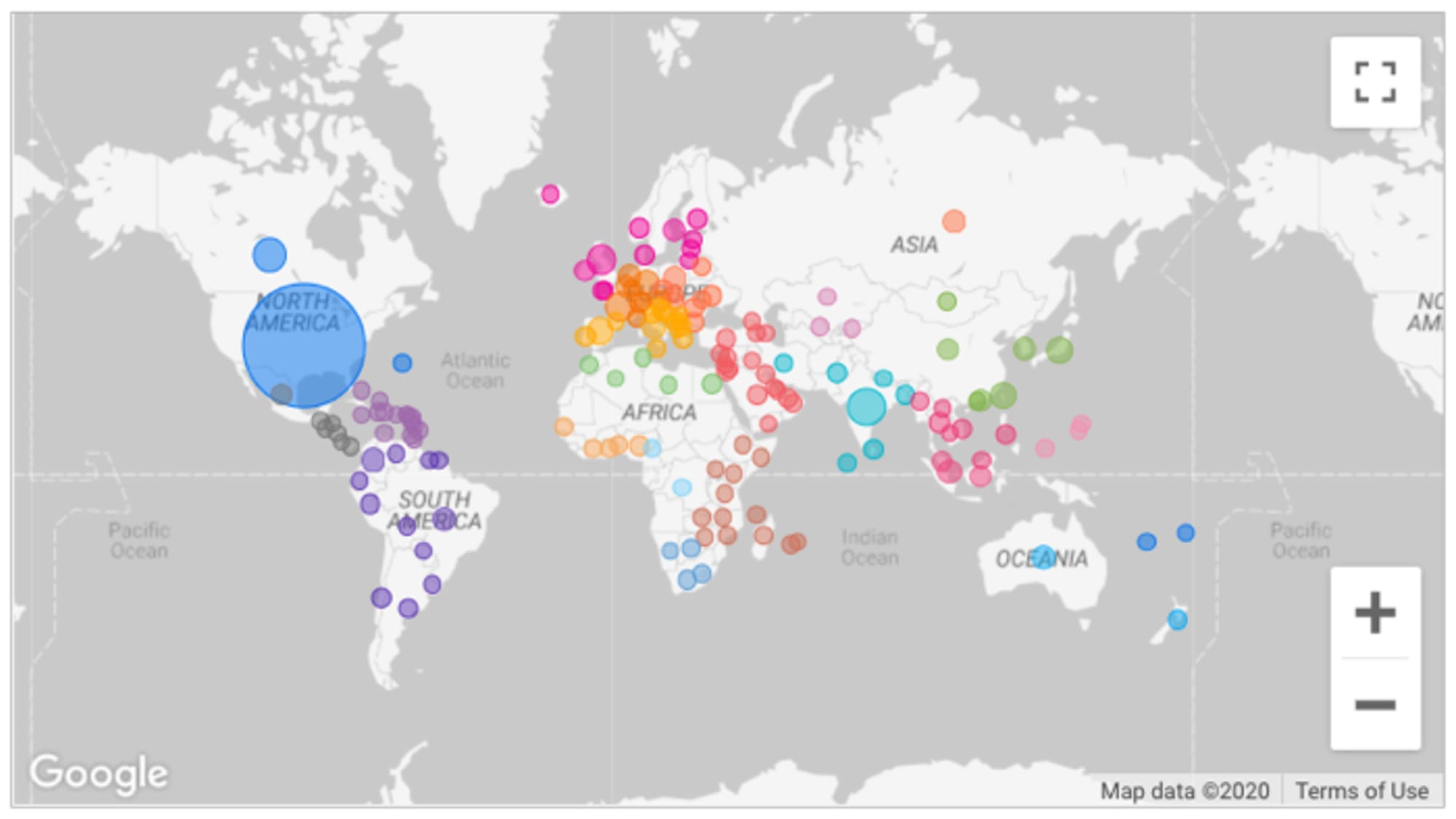
Google integrates Google Maps in Data Studio
Google this week added Google Maps into the reports in Data Studio. Google says Google Maps in Data Studio are highly customizable and integrate with any data source that contains valid geo fields. Until now, Data Studio only had static geo maps.

Google this week added Google Maps into the reports in Data Studio. Google says Google Maps in Data Studio are highly customizable and integrate with any data source that contains valid geo fields. Until now, Data Studio only had static geo maps.
The geographic field types available are addresses, cities, continents, countries, latitude and longitude, metro, postal code, region, and sub continent.
Google Maps in Data Studio work with bubbles and colors. There is a maximum limit of 10,000 bubbles for Latitude, and Longitude fields, and 1,000 bubbles for other geographic field types. Google Maps doesn’t support complex geospatial data (for example, BigQuery GEOGRAPHY, GeoJSON). Google Maps won’t appear in embedded reports.

